Workshop on Geospatial Applications in Development & Mapping with OpenStreetMap
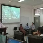
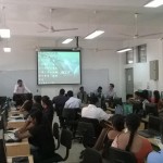
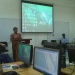
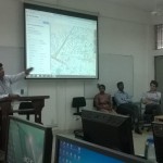
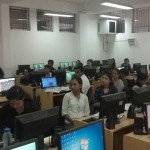
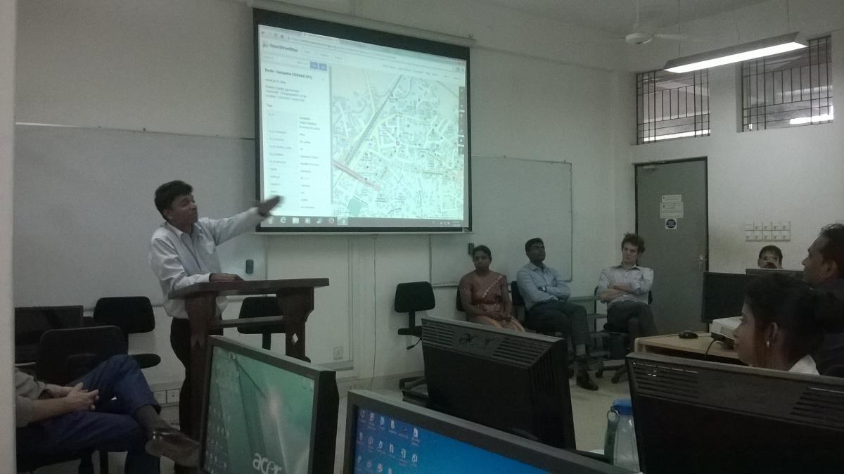
The Department of Geography organized a Workshop on Geospatial Applications in Development & Mapping with OpenStreetMap in collaboration with the Disaster Management Center (DMC) and the World Bank on 14th March, 2016 from 8.30 am – 4.30pm at the GIS Laboratory in the Department of Geography.
Prof. Lasantha Manawadu, Head – Department of Geography, delivered the welcome address. Ms. Anoja Seneviratne, Director Mitigation Research and development, DMC and Mr. Suranga Kandawa, Disaster Risk Management Specialist – The World Bank, Mr. Vivien Deparday – Disaster Risk Management Specialists, Global Facility for Disaster Reduction and Recovery and Mr. Robert Banick – The World Bank were among the other speakers. Mr. M. D. A. Nandana and Mr. S. Suthakaran of Disaster Exposure Mapping Project conducted the workshop.
Staff members of the Department of Geography and Geography Special Degree undergraduates participated in this academic workshop.
