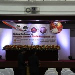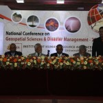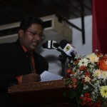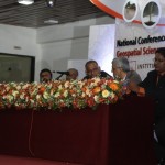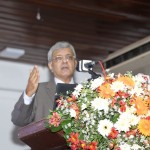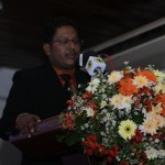
National Conference on Geospatial Sciences and Disaster Management
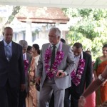
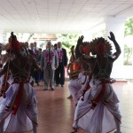
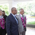
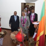
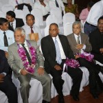
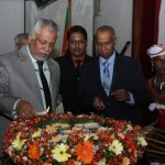
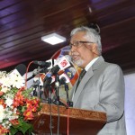
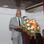
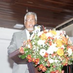
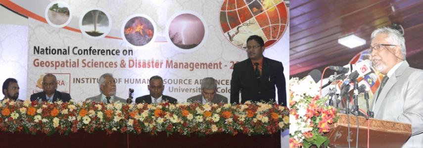
The Institute of Human Resource Advancement, University of Colombo, (IHRA-UoC) focuses on the future as an opportunity to renew the commitment as a National University of the country to broad-based and long-term disaster preparedness while producing professionals essential for the field of Disaster Management. With the experience over the past decade, IHRA realized that there is a gap between academia and practitioners. Accordingly, there is a clear need of reinforcing the collaboration between the academia and related industry in order to face the future challenges dealing with disasters while establishing integrated approaches on Disaster Risk Reduction (DRR) for sustainable development of the nation. As a national responsibility, to empower the society with adequate knowledge, IHRA expanding its responsibilities, was held the National Conference on “Geospatial Science and Disaster Management” on 19th January 2016 in collaboration with national and international authorities and other relevant organizations.
As the initial phase, IHRA introduced the M.Sc. Degree Programme in Disaster Analysis, Management and Mitigation (M.Sc. in DAMM) in year 2013 to produce professionals who are capable to face the challenge of managing disaster successfully. The M.Sc. in DAMM can be effectively used as a learning guide to train the students in key concepts and practices in disaster management while training them to assess the hazard, vulnerability and risks while establishing the preparedness and mitigation. Due to the recent development, geospatial science has become an exceptionally useful tool in the field of disaster management. One of the main challenges which disaster management experts are facing is to monitor the disaster situations, to simulate the complicated disaster occurrence in full accuracy and to come up with better prediction models, for that Geospatial science can be used. Real-time and archives of remotely sensed data can be used very effectively to prepare the historical data base to study the future trends and severity of disasters.
Sub themes of conference :
- Natural and Human Induced Risk Management
- Environmental Risk Management
- Resilience in Infrastructure
- Water Resource Management
- Disasters & Humanitarian Relief
- Health Risk and Emergency management
- GIS and Its Applications
- Remote Sensing Applications
- Geodesy and Geosciences
- Geography
- Renewable Energy
- Transportation
- Climate Change Science
Web: www.geocenter.lk
